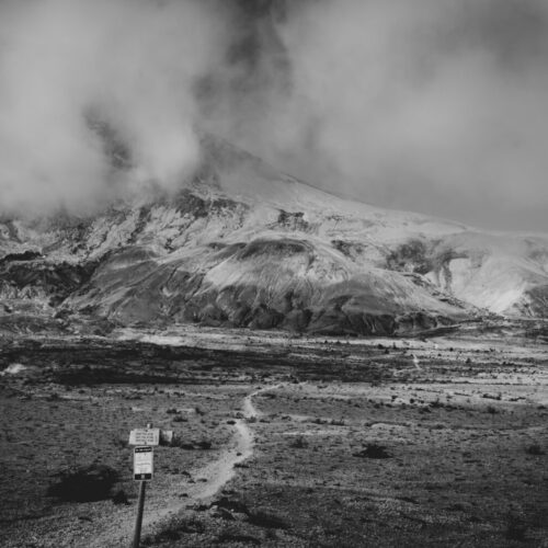
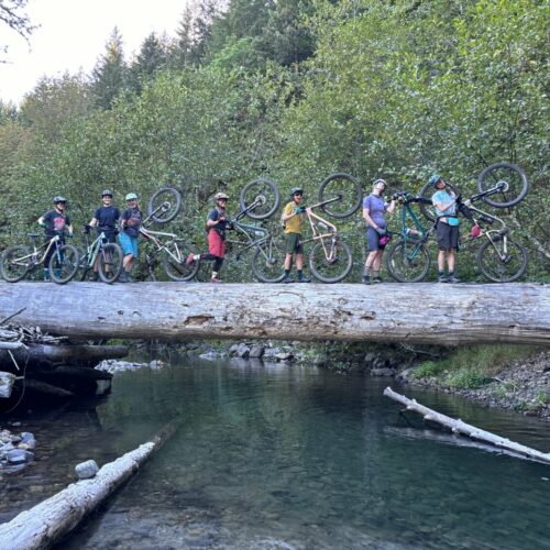
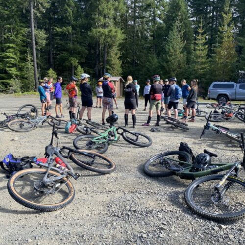
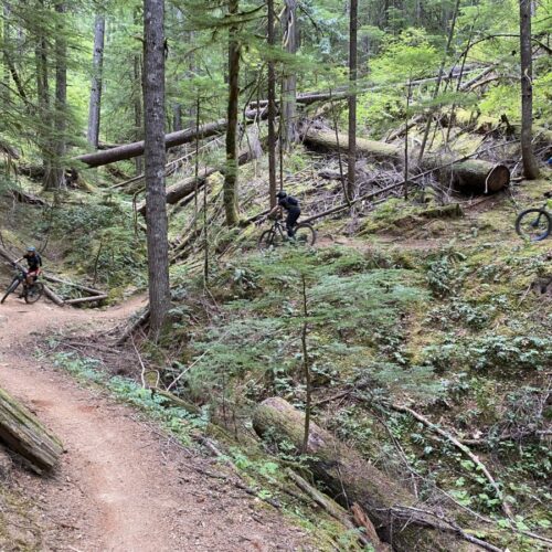
This is a 25-28 mile ridable loop including a climbing road ride, or shuttle and several route variations. NWTA planned, funded and built a 5 mile expansion of the trail to include several mountain views and scenic overlooks and eliminated several straight gravel road sections. The route can also be ridden as an out and back by strong riders. Along with scenic beauty and remote location, several waterfalls are visible during the ride.
Access
This trail is accessed from SR-14 through Carson to Oldman Pass. Several locations are used to access the trail, however the trail route is served by two main roads extending up the pass from Carson area, Panther Creek and Falls Creek, this makes smaller loops difficult and extraction if there is an issue also difficult.
Parking requires a Northwest Forest Pass. $5 for a day pass (buy online and print), or $30 for an annual pass (buy online)
History
This is one of the older trails in the area that was discovered as bikeable in the late 1990’s and included several complex connections to join multiple segments together. It was a common area to get lost and was best explored with someone familiar with the area. NWTA members frequently rode the area and groused about long sections of trail that were collocated with gravel production forest roads. Through many years of exploration and discovery NWTA developed a reroute to avoid the old roads and create a new epic reroute with two mountain views. We approached USFS and developed a plan to complete the project. Due to funding limitations, NWTA raised the funds to pay for the NEPA study and reflagged the routes several times over the next few years as the process moved through the system. After the greenlight was given NWTA conducted several work parties and utilized our equipment to build the trail per the original design. This trails was primarily built with small machines and finished by hand and was intended to meet the needs of many users, though some mountain bike optimized curves and features exist. Through sustainable trail design, frequent maintenance needs are reduced, but not eliminated.
Upcoming Plans
Several additional trail extensions are underconsideration that would bypass remaining gravel road sections and possibly provide an alternate climbing route. As in the case of all of our trail work, execution of these ideas requires a champion willing to put in the time to plan and develop the relationships. If you want to make Falls Creek better we need your help.
Suggested Loop
I like to park along the road and ride up the road, do the main loop, then turn back up the old abandoned road, then we cross the river to the car. This is becoming a very popular route as you do not need to dirve into the new crowded parking lot. I just call it the Falls Creek Trail with Alternate Ending. Others do an out and back from parking area, and others shuttle from the top and park at the triangle by the Oldman pass road.
Contact
Andy Jansky – [email protected]
