Powell Butte is a 611 acre Portland City Nature park located in outer East portland with about 10 miles of bikable trails and double track and many more open to hiking and trail running. The top of the butte is at several 100 feet of elevation with a 360 view mountain finder and picnic spot.
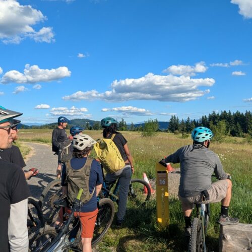
An extinct cinder cone, tread is generally very smooth and non-technical. Trails tend to flow and lightly switchback within the perimeter forest canopy of huge Doug Fir and old Cedar. Atop the meadow, trails tend to be flatter and double track.
For parents this is an absolutely perfect park option for parents to trade off cutting some laps and entertaining the kids with the Strider, picnic, mountain finder, and exceptionally well done Portland Water Bureau interpretive center and museum. Check the museum hours but it is a engineering marvel what the PWB has accomplished with the Bull Run Watershed that drains from the top of the Sandy Ridge Trail region.
We ask that you avoid riding on these trails if they are wet and please note that the trails are shared use with hikers and horses. Please follow trail etiquette and yield to other trail users.
Access
Open 7am – dark.
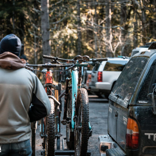
There is a main parking lot on the North side of the Butte, as well as several access points on the West, East, and southerly side accessible by the Springwater Bicycle corridor. Do not park near the Springwater corridor where car breakins are likely. The south access from the Springwater makes for a great cyclocross ride and loop.
History
The trails were redesigned by IMBA trail solutions and built by Treadworks Trail Builders in 2010 after an arduous albeit successful process with Portland City Parks, NWTA, and other user groups.
Upcoming plans
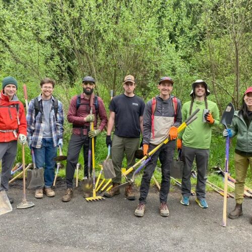
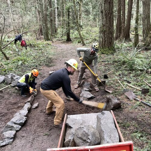
In 2020, NWTA signed a maintenance partnership agreement with Parks for longer term engagement with the park and we are looking forward to retaining this park as a Portland gem.
No new trails or access changes are planned in the immediate future.
Suggested loop
Generally, climbing will take you to the Meadow at the top and mountain finder. Descending will take you to the South entrance unless you descend from the main parking lot.
Forest Canopy tour (Ride all Signtrack both ways) ~10mi ~1500ft climbing:
- From any entrance climb to the Mountain Finder
- Descend Summit Lane to South Trail
- Climb Doug Fir
- Meadowland
- Elderberry clockwise
- Forest Edge
- and backwards down Elderberry and up to meadowland
- dougfir down
- climb south trail back up to mountain finder.
Powell Butte Events
No post found!
Powell Butte News
NWTA’s First Ride with an Ecologist Was an Eye-Opener
Drainage Done Right: Trail Work on Powell Butte’s Elderberry Trail
Powell Butte Work Party Recap